Appendix
Historical Evolution
There is evidence of a small Iron Age Illyrian tribal community in the 6th-5th centuries BCE, at Stari Grad, on the site of what is today the Church of St. John, in archaeological vestiges directly below the Greek level. Remains of forts and stone tumuli around the plain date from this period, or possibly from slightly earlier.
Greek expansion into the Adriatic began with the Syracusan tyrant Dionysius the Elder. The first colony was founded by the military conquest of the island of Vis, at the expense of the Illyrians, in 394 BCE.
The next stage of Greek expansion was the conquest of the island of Hvar by the inhabitants of the Aegean island of Paros, allies of Dionysius, ten years later. They created the colony of Pharos. The perimeter of the town was circled by defensive walls, vestiges of which are visible next to the Church of St. John, and the remains of a city gate with towers can be seen nearby. Excavations have provided evidence of the ground plan of the Greek town and have uncovered vestiges of houses.
Agricultural colonisation was undertaken alongside the construction of the fortified town. It was based on subdivision into regular rectangular parcels (chora). The plain consists of 73 main parcels of around 16 hectares, subdivided in turn into square lots. Stone boundary markers were built between the various parcels and lots.
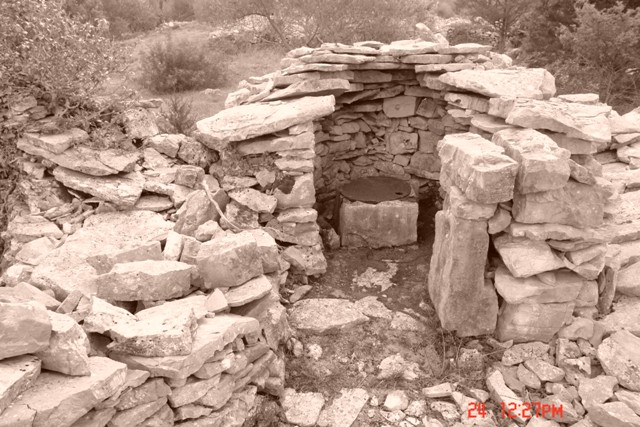
The defensive system of the plain reused the former Illyrian forts and added new forts. Traces of four of them have been located. The collapse of the Syracusan Empire in the mid 4th century BC resulted in Pharos becoming an independent principality of Hellenised Illyrians. Its prosperity led to it becoming the capital of Demetrius of Hvar, who extended his power over the region in around 220 BC.
Demetrius came into conflict with Rome, and the town was partially destroyed in 219 BC. The town was however soon rebuilt with the assistance of the former metropolis of Paros, as shown by two Greek inscriptions discovered from this period.
The island was unable to resist Roman conquest for long, and the port became, in the mid-2nd century BC, an important naval base for Roman expeditions against the Dalmatians and Illyrians on the mainland. The town was given the name of Pharia, and acquired the status of a municipium during the reigns of Augustus and Tiberius. The whole island was colonised by the Romans by that time.
Archaeological traces have demonstrated that economic activities centred on grapes, fishing and port commerce. Some Roman graves were dug in the plain, and additional cisterns were built.
There is little testimony concerning the period of late Antiquity. Pharia was fortified again, with a smaller perimeter compared with the Greek period. The first traces of Christianity are from the 5th – 6th centuries, with the presence of tombs, a baptistery and mosaics.
The medieval history of the island of Hvar and of Pharia is complex. It became the seat of a Christian bishop (12th century AD), and was then conquered by the Venetians (mid 13th century), who maintained almost permanent political control of the island until 1797.
Over this long period, the plain was under the shared or alternative control of the Christian church and the medieval aristocracy who drew substantial profits from it. Small chapels were built on the plain. The earliest descriptions of the plain and its agricultural system date back to the 14th -15th centuries. The walls built on the boundaries of the Greek parcels are clearly named and identified.
The town underwent a period of renewal from the 15th century onwards, as a trading centre and port, in the orbit of the development of Venetian economic power. Its name at this time was Campo San Stephani.
In the 19th century, irrigation works were undertaken on the plain, and a cadastral scheme was drawn up by the Austrian administration.
At the end of the 19th century, winegrowing was seriously affected by the disease of phylloxera. This led to an abandonment of the agricultural land and an initial wave of rural emigration at the start of the 20th century. The winegrowing villages of the south were partially abandoned. The cadastral structure of the land and paths was conserved, but it was weakened by lack of maintenance.
A new form of threat to the conservation of chora developed after the Second World War, when collective farms and the mechanisation of ploughing were introduced. This coincided with a second wave of emigration.
The third period, at the end of the 20th century, was marked by a move back to grapes and olives, but using modern, mechanised equipment that also pose a threat to conservation.

Hydria Virtual Museum

Hydria Virtual Museum
Hydria Virtual Museum