Setting
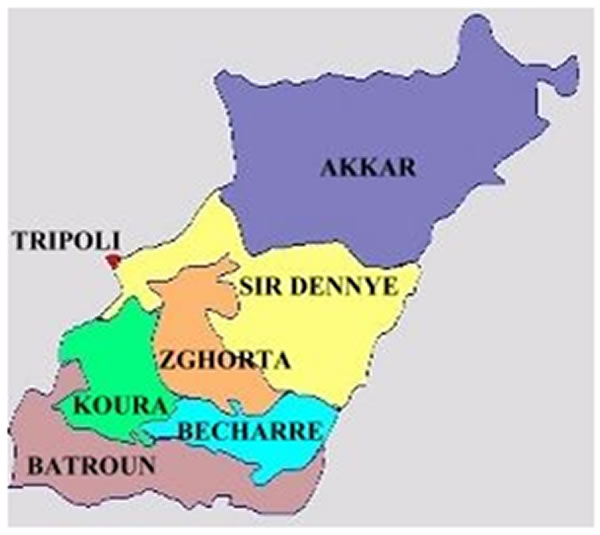
The Spring of Saint John is located in the Village of Ghouma in the Batroun District. The area of Batroun district is 287 km2; it occupies the southern part of the North Lebanon governorate. This area includes 66 towns and villages with a 50,000 population. Batroun is located at 50 km north of the capital Beirut, and at 29km south of Tripoli. The waters of the “Nahr Al-Jawz” river irrigate the lands, villages and towns of the District.

Hydria Virtual Museum

Hydria Virtual Museum
Hydria Virtual Museum
Ghouma is located 12 km from the city of Batroun at an altitude of 450m. It is surrounded by Smar Jbeil from the north-west, Mrah al Ziyat north, Jrabta east and from the west Rachana and Fgal. The geological setting in North Lebanon is quite diversified, dominated by layer formations from the lower and mid cretaceous era consisting of sandstones overlain by extensively fractured thick marine limestone.
In terms of fresh water, the coast of Northern Lebanon comprises a number of small to medium delta rivers, however only 6 rivers are perennial. Moreover, groundwater is extensively pumped through uncontrolled wells for drinking, irrigation, energy and industrial use. This is contributing to a significant drawdown of the water table along with a remarkable degradation of water quality due to sea water intrusion all over the northern coast.
The Lebanese coast climate is subtropical Mediterranean, where summers are hot and dry, and winters are mild and wet. As for autumn and spring, they are short-lived, marked with little rainfall and mild temperature. The mean temperature along the northern coastal plains ranges between 26.7° Celsius in summer and 10° Celsius in winter. Due to location of the highest intercepting mountains in Lebanon, the northern coastal zone enjoys high rainfall throughout the year with an average annual rainfall of 980 mm/year.
This area has signs of civilization already since the Stone Age, when man inhabited its land one million years ago. Batroun city was first mentioned in history of Tel Amarina Letters (1370-1354 BC). Being in a middle point area between Europe, Asia and Africa Batroun has witnessed all civilizations that succeeded one another in Lebanon. Therefore, in this area, one can find ruins left by Phoenicians, Egyptians, Mesopotamians, Persians, Hellenes, Seleucids, Itureans, Romans, Byzantines, Arabs, Crusaders, Mamlouks, and Ottomans…
During the Roman Times, Ghouma was on the road map that connected the coast of Batroun and the Silos of wheat in Baalbeck. This road was protected by castles, fortresses and towers which facilitated the transfer of wheat to the coast and Ghouma was then known as “Ghouma the Wheat Road”. It was also part of the Silk Road which was taken by traders to transport natural silk from China to the West. Ghouma was the first village of the region that actually produced silk.
Ghouma embraces attractions of heritage, touristic and archaeological importance … caves, tombs, olive presses … a graveyard named the cemetery of Kings in the locality known as Sheena`s well. The village today includes 55 houses: some of them are old keeping the heritage traits and the others have a modern Lebanese style.
The naming of Ghouma goes probably back to “Ghor – Mao” which in Syriac means a depression in the land where rain accumulates during winter time; others called it “Gamma” and this in Aramaic means temple.
The spring of Saint John Maroun goes back to the year 676 AD, whereby it is located on the foothill at an altitude of 300m. The area is rural with some urban development along the valley, but agricultural areas and forests are dominating around the spring.

Hydria Virtual Museum

Hydria Virtual Museum

Hydria Virtual Museum